Frequently asked questions
Is CoastSense the right tool to monitor my coastal assets?

Is CoastSense the right tool to monitor my coastal assets?
CoastSense produces its best results at coastal sites with moderate to large intertidal range, a heterogeneous wave field and wind speeds typically above 3m/s.
Estuaries can be successfully monitored when the right conditions are met, but rivers tend not to have sufficient tidal range to observe the bank topography or waves and wind to derive currents and bathymetry. Where larger rivers have large tides, the intertidal monitoring techniques work well, such as with the Rivers Mersey, Severn and Humber. So, the answer to this question is likely to be site-specific and we recommend a conversation so we can understand what you are trying to monitor and why before working out if CoastSense is the right choice for you.
What size area can you cover?
What size area can you cover?
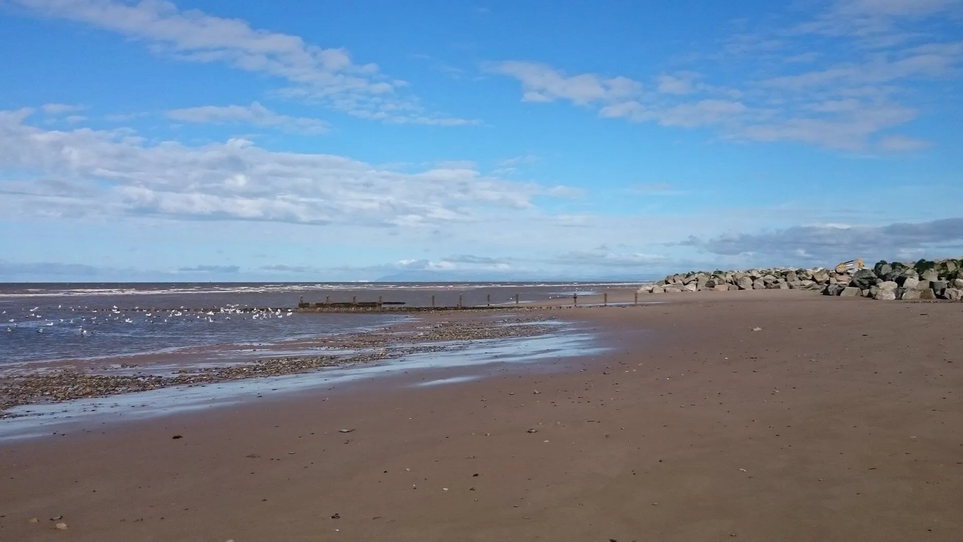
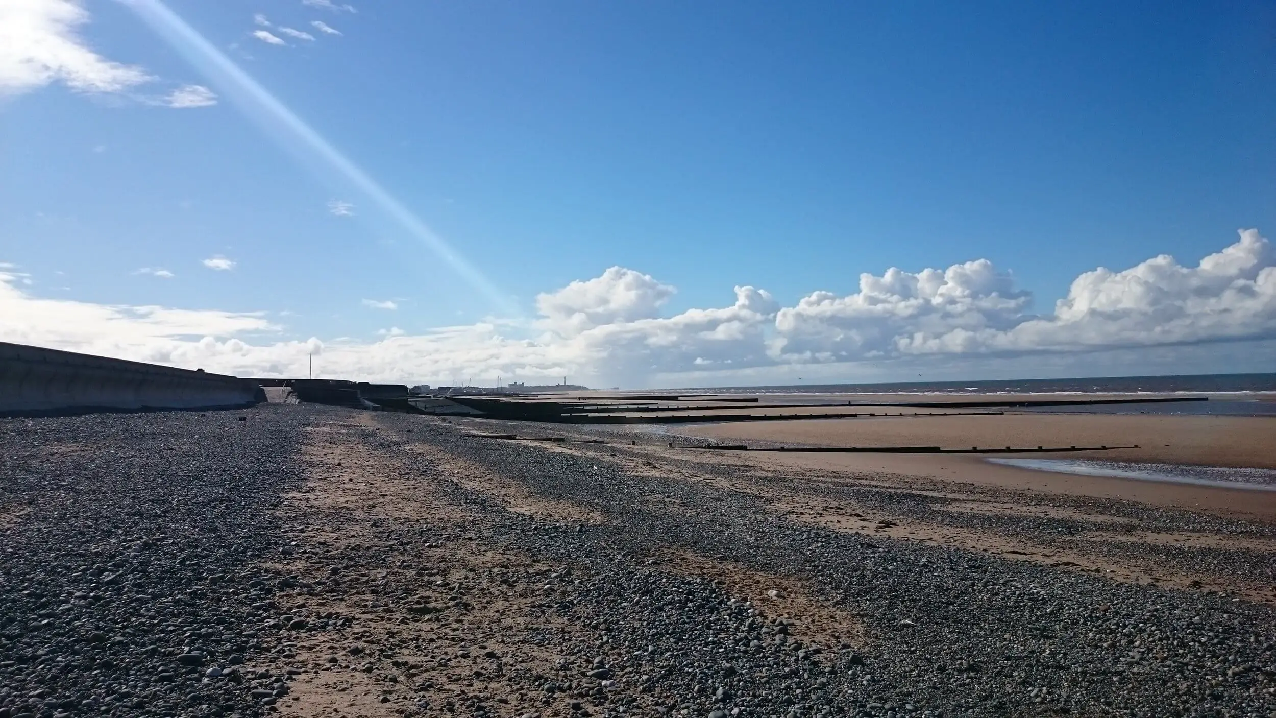
The CoastSense stations use a radar which has an instrumented range of 6.2km from the radar, resulting in circles of coverage along the coastline. Typically, the best data are produced out to 4km, with some valuable results beyond this to 6km during ideal conditions. For example the intertidal DEM usually covers 10km of coastline from a single station. Many of our users choose to monitor tens of kilometre of coastline using multiple stations with overlapping coverage (in this case, discounts apply).
How does CoastSense measure the seabed?
How does CoastSense measure the seabed?
Algorithms applied to sensor data derive indirect measurements of the seabed elevation. More information can be found in the specific data product section of the website.
How long will i need CoastSense's subscription service for?
How long will i need CoastSense's subscription service for?
Coastal processes are dynamic with characteristics presenting over hours through geological timescales. Your recommended length of subscription depends on what you need observed. For example, observing the impact of a single storm event along with the hydrodynamic forcings which effected it, may require only one week of data. Typically, for this type of data capture our users elect to deploy a Rapidar type system for 3-months during the storm season which often results in multiple storm events or storm clusters being captured. However, to observe any subsequent recovery and seasonal patterns, users typically choose longer deployment periods which correspond with management timescales. Deployments longer than 12 months will usually use a permanent CoastSense column. Longer datasets typically have greater value to users as they include longer period phenomena. Multi-year discounts apply.
Does the technology work at night?
Does the technology work at night?
Yes. Radar uses electromagnetic energy in the X-band of the radio spectrum. The radar images are produced when the radio energy transmitted from the radar antenna is reflected back from objects in the environment towards the receiving antenna. This process does not require illumination by light.
Does it work in rain, snow and storms?
Does it work in rain, snow and storms?
Yes. Heavy rain and snow have several effects, including dispersion and absorption of some of the radar energy as well as reflection. This means that precipitation will appear in the radar images and reduce the useful signal returned from sea surface. Fortunately, snow and rain account for a relatively small proportion of the observation period and so don’t hugely impact on the quality of the data products. Quality control measures indicate periods and regions of lower quality data. Observation through storms is a major benefit of the system and can give valuable insights into coastal phenomena at these times. For some of the data products, data quality actually improves during some parts of the storm due to larger waves and strong winds roughening the sea surface, providing more detail.
Is the radar dangerous to humans or wildlife?
Is the radar dangerous to humans or wildlife?
This HSE publication explains the safe working distance and exposure. Our radar equipment is the same as that used on light commercial and leisure vessels where people remain safe in relatively close proximity to the radar.
What maintenance does the site equipment require?
What maintenance does the site equipment require?
CoastSense equipment is maintained and operated as part of the data production and delivery service. This includes annual servicing of the radar, exchanging data-transfer disks, computer air filters, cleaning the camera lenses and ultrasonic anemometer. So you can concentrate on your own organisation’s work.